3D Visualization
in GIS
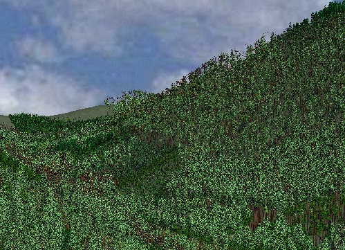
The term "visualization" has become a hot topic GIS during the last
several years. More realistic 3D renderings of landscape elements
will form snapshots of analysis results, providing a glimpse of aesthetic
as well as environmental and economic concerns.
1. 3D terrain generation and
rendering
contouring
map --> DEM --> 3D visualization
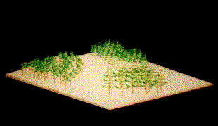
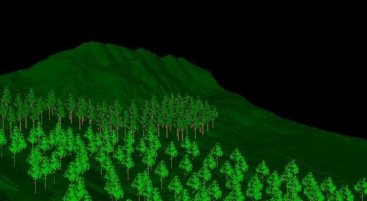
2. fractal terrain and plant
simulation
What is fractal?
A rough or fragmented geometric shape that can be subdivided
in parts, each of which
is (at least approximately) a reduced-size copy
of the whole.
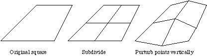
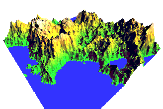
Fractal terrain simulation
Fractal landscapes are often generated using a technique
called spatial subdivision. For magical reasons this results in surfaces
that are similar in appearance to the
earths terrain.
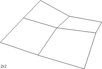
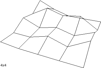
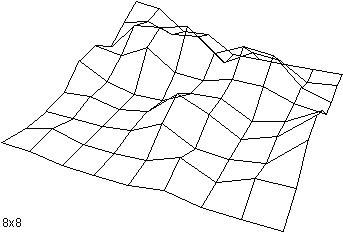
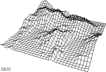
The idea behind spatial subdivision is quite simple. Consider
a square on the x-y plane,
(1) split the square up into a 2x2 grid
(2) vertically perturb each of the 5 new vertices
by a random amount
(3) repeat this process for each new square
decreasing the pertubation each iteration.
Example:
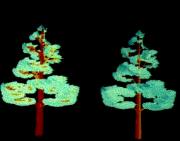
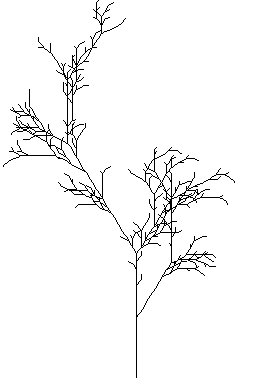
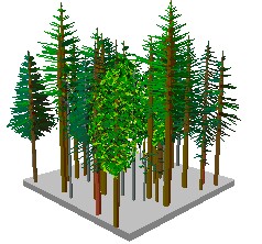
Fractal tree generation