|
------------------------ Research Focus ------------------------ ------------------------ Research Components ------------------------ ------------------------ ------------------------
|
 My outside office My normal office: Burnside Hall, Room 510 Department
of Geography |
PhD Candidate My research develops scenarios of future land use for mesoscale watersheds through ascertaining drivers of land use change at the farm level. The land use scenarios are applied, along with future climate change scenarios, to a hydrological simulation model to determine the impacts on the quality of surface water for the 2050 time horizon.
|
|
| Research
Focus
My main objective is to develop future
agricultural land use scenarios to determine the quality of surface
water due to possible changes. Most studies that apply hydrological models
to the examine changes that may occur to hydrological processes (i.e.
due to change in climate) have assumed a static landscape.
However,
we can expect agricultural land use to continue to evolve with time. Agricultural land use is highly site specific and is determined by multi-scale factors (e.g. farmer know-how, available subsidies, environmental policies, new technology, access to information and demand for products). These factors influence the decision making processes of producers to manage their landscape. The farm is therefore an important unit of study for decision making regarding land use change. I investigate the
drivers of land use
change at
the farm level through direct interaction with the farmers (for
example, by means of questions
posed to farmers about their land use processes). Their responses help
to determine the influencing factors (IFs) associated with current and
future crop land uses. From the farmer responses, the drivers of land use change can be applied into a land use model, such as CLUE-S (Conversion of Land Use and its Effects- Small Scale (Verburg et al., 2002)). In conjunction with other large-scale drivers, several scenarios of the spatial distribution of crop land can be established. The final step is to insert the land use scenarios into a
hydrological quality model, such as SWAT (Soil
and Water Assessment Tool) (Arnold et al., 1998), to determine the future surface water quality.
Research Sites This research will undertake a
comparative study between two medium sized watersheds. Both sites are
located in middle latitude regions, and thus possess similar climates
and landscape vegetation. Both watersheds also are plagued with non-point source
pollution in part due to excessive nutrients from agricultural
practices. However, the watersheds make for an interesting comparison
as they have different farming incentives and both also have water quality
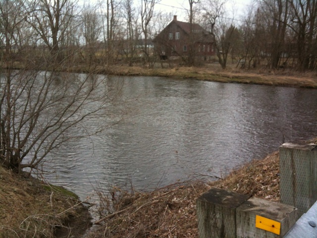
protection policies in place. Pike River watershed, Québec, Canada The Pike River watershed area is 629 km2 and straddles Québec and Vermont; 99 km2 of its territory is in the state of Vermont. The river source is in Vermont, near Lake Carmy, approximately 8 km south of the Québec-Vermont border (Michaud et al., 2006), from there the river flows into the Missisquoi Bay, which is the northern most part of Lake Champlain. The land use in the lower part of the Pike River watershed (below the town of Bedford), comprising an area of 247 km2, is two thirds agricultural; mostly hay, perennial forages and annual row crops (Deslandes et al., 2007). This area is responsible for contributing significant amounts of phosphorus into the Missisquoi Bay (Simoneau, 2007). The Missisquoi Bay has been afflicted with elevated phosphorus levels for decades, which has caused cyanobacterial blooms to occur almost every year since monitoring stated in 2000 (Blais, 2002), leading to regular beach closures.
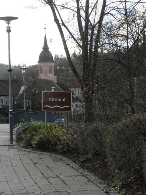
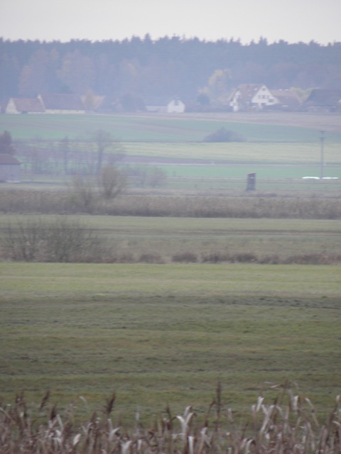
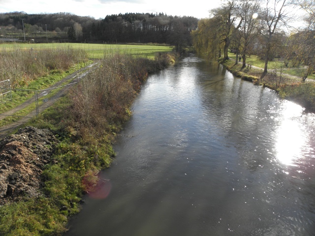
Altmühl watershed, Bavaria, Germany The Altmühl river originates in the village of Erlach and ultimately flows into the Main-Danube canal. For this research, the Altmühl watershed will be examined from its source, to the gauge in Treuchtlingen (10o54’48.91”E, 48 o57’11.31”N); encompassing a total area of 980 km2. The land use in the Altmühl watershed is mainly farmland, with 70 % of the watershed being used as farmland (roughly two thirds as field crops, one third as pasture). There are approximately 1400 farms in the watershed. My discussions with local government stakeholders in the area have revealed that there has been a shift from pasture to biofuel maize crops in recent years. Nitrates, phosphorus and sediments are all major element of concern in the Altmühl river and lake. The Altmühlsee has also been plagued in recent years with algal blooms.
Land use change Several scales exist for studying land use change, ranging from global (world) to the farm (individual) level. Many studies to date have focused on examining the larger scale (country or continental) for determining agricultural landscape and activity changes. I am investigating the finer spatial scale (i.e. the watershed, or the farm) which can provide insights of local effects, and producer decision making processes, to assess theses impacts on the rural environment. To carry out the land use scenarios, I apply the Conversion of Land Use and its Effects at the Small Scale (CLUE-S) model (Verbug et al., 2002). Climate change Simulations and
projections for relevant climate data from the Regional Climate Models
driven
by an ensemble of GCMs for the time horizon 2041-2070 are accessible
for this
research. Future climate parameters of temperature,
precipitation, evaporation, and solar radiation from at least three RCM
model
runs and a historic reanalysis run (1961-2000) will be examined. Surface water quality The Soil and Water Assessment Tool (SWAT) model (Arnold et al., 1998) is used to asses water quality in the future, for both watersheds. Once calibration and validation steps are complete, SWAT will be run using the future land use and climate data as input. Scenarios for hydrological quality (nitrogen, phosphorus and sediments) for the 2050 time horizon will be developed. References ARNOLD, J. G., SRINIVASAN, R., MUTTIAH, R. S. & WILLIAMS, J. R. (1998) Large area hydrologic modeling and assessment part I: Model development. Journal of the American Water Resources Association, 34, 73-89.BLAIS, S. (2002) La problématique des cyanobactéries (algues blue-vert) à la baie Missisquoi en 2001. Agrosol, 13, 103-110 MICHAUD, A. R., DESLANDES, J., BEAUDIN, I. & DESJARDINS, J. (2006) Modélisation de l'hydrologie et des dynamiques de pollution diffuse dans le bassin versant de la rivière aux Brochets à l'aide du modèle SWAT. IRDA Rapport de recherche SIMONEAU, M. (2007) État de l'écosystème aquatique du bassin versant de la baie Missisquoi: faits saillants 2001-2004. Québec, ministère du Développement durable, de l'Environnement et des Parcs, Direction du suivi de l'état de l'environnement VERBURG, P. H., SOEPBOER, W., VELDKAMP, A., LIMPIADA, R., ESPALDON, V. & MASTURA, S. S. A. (2002) Modeling the spatial dynamics of regional land use: The CLUE-S model. Environmental Management, 30, 391-405 Research Supervisor: Bernhard Lehner, McGill University Co-Supervisor: Ralf Ludwig, Ludwig-Maximilians-Universität, Munich Co-Supervisor: Navin Ramankutty, McGill University
|
|||
|
Contact Information Department of Geography, 805 Sherbrooke Street West Montreal, Quebec, Canada H3A 2K6
Last
updated April 2012 |
|||